The History of GIS and Large Format Printing
The evolution of mapping has been nothing more than meteoritic. In the 1960 – mid 1970s large maps were created using pen plotters. Calcomp was the leader in the pen plotter market, followed by Houston Instruments, Benson Varian, and Hewlett Packard. Cost of a typical pen plotters system included taped drives, terminals and very high powered computers such as the IBM 360/365, Cray, Control Data, Digital Equipment, Corp. Cost for a printing systems – 60k – 100k. The maps were line drawings and very rudimentary in their presentation of data. The pens, Ink and media put the cost per square foot at $1.00 - $2.00. The hardware maintenance costs were extremely high as well.
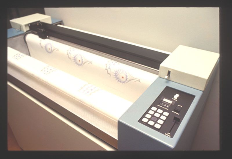
In the late 1970s, the need for more refined data defined by color was necessary. Xerox and Benson Varian, introduced the electrostatic plotter. Using toluene coated media and caustic colored liquid, maps could be printed in full color. Cost – 50k – 100k. Cost per square foot ran between $1 and $5. Constant maintenance and cleaning added to the cost.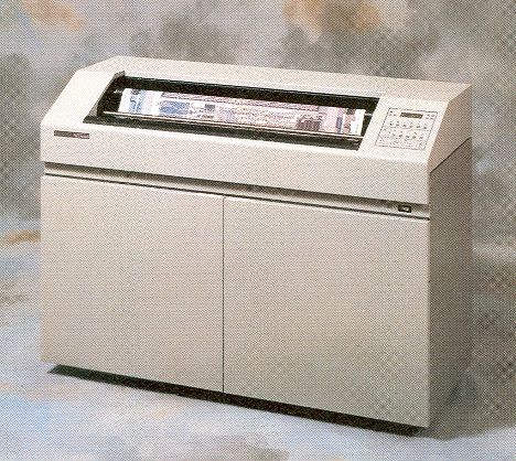
Get Service Today!
Back to work cleaning specials still available.
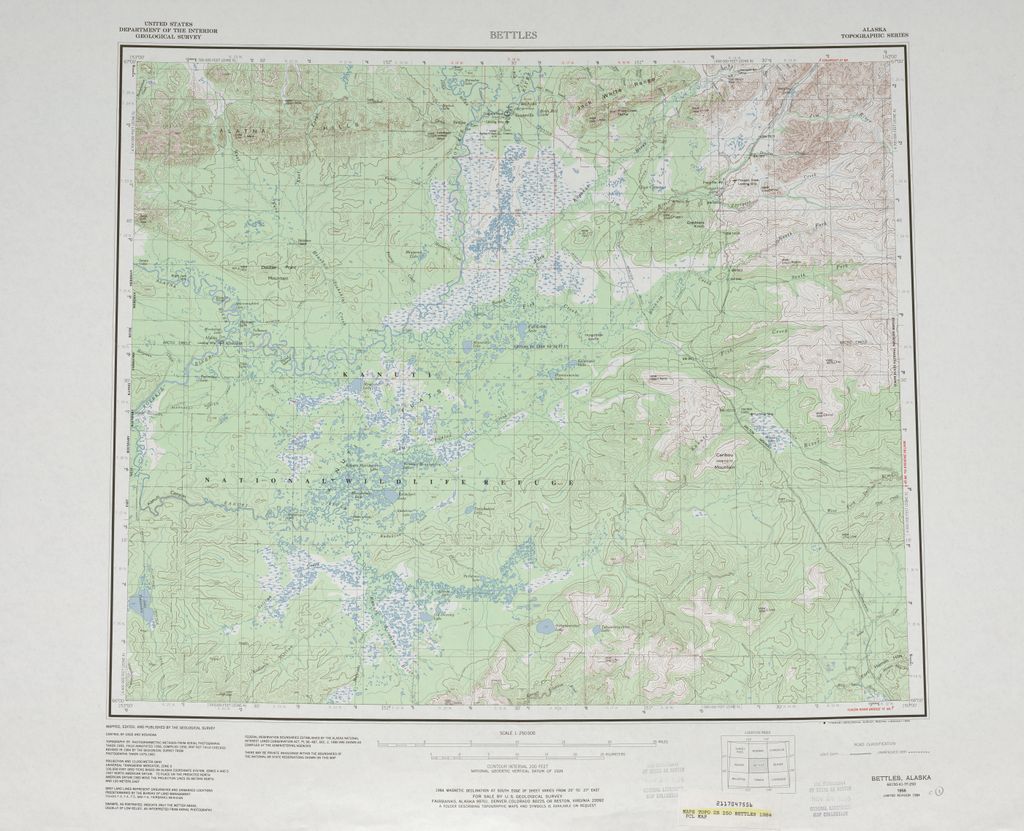
Full color maps allowed for more accurate census data, Topographic maps of mountain ranges, and city county, state maps could be produced. The demand for better image resolution and more intricate data presentation led in the late 1980s to the rise of the ink jet plotter/printer. HP led the charge with the introduction of the first large format inkjet printer dubbed the DesignJet. HP designJets were monochrome, only printing in black. Not suitable for the GIS market yet.
The early 2000s saw HP roll out new DesignJet families targeted for the technical and graphic markets. 5000/5500, 1050,1055 and a plethora of other models. The DesignJet spelled the death knell for the electrostatic and pen plotter market. Calcomp, Houston Instruments, Benson Varian all went out of business. Cost per square foot printing with the new inkjet technology plummeted to under $1.00.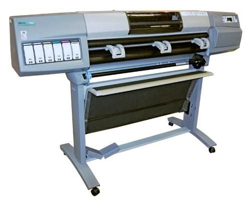
Call for print repair and troubleshooting
Many issues can be solved over the phone.
Modern GIS Printing and Usage
The major players today in the GIS world are HP followed by Canon. Both manufacturers have their pros and cons. Contact a knowledgeable dealer to get your questions answered.
PSI provides HP Designjets to GIS users in the following industries:
- Petroleum – reservoir analysis, pipeline design and construction
- City, County, and State Governments,
- Federal Agencies – USGS BLM, USDA, Census, BIA,
- Law Enforcement
- Utilities,
- Environmental – water, forestry
- Health and Human Services
- Urban Planning
- Transportation
- Mining
- Surveying
- Advertising
- Finance and Insurance
- Retail Planning – Site location analysis using operations research data
Visit our store for competitive prices on ink and supplies.
Getting new printheads could be just the thing you need to fix your printer.
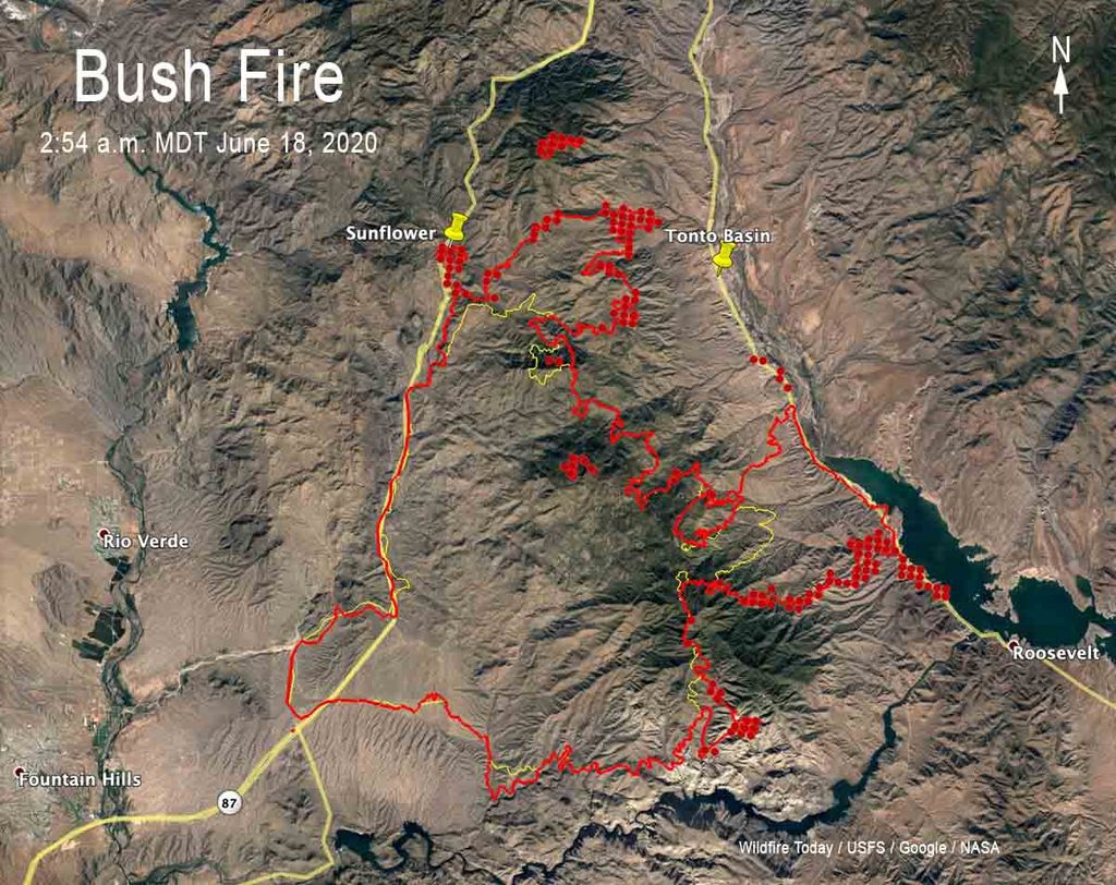
One area in which PSI is most proud to help is the ability to respond quickly to Forest Fire management team requirements. PSI provide equipment and supplies on a moment’s notice to provide the ability to print real time maps for fire migration to ensure the safety and well being of the frontline firefighters.
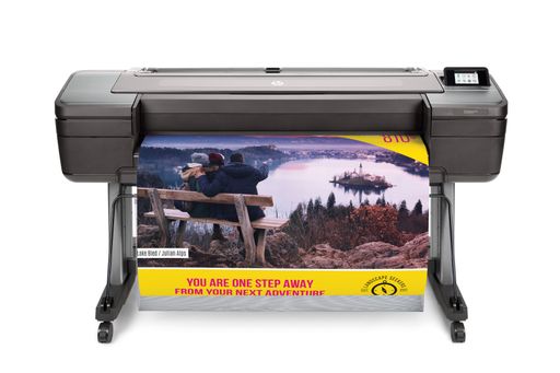
The most popular GIS printers are HP’s Z6 and Z9 graphic printer. The Z6 is a six-color printer, while the Z9 is… you guessed it a nine-color printer. These two 44” printers provide the highest quality output over a wide range of media types.
Whatever software you are using, ESRI, QGIS, Maptitude, MapInfo, to name a few, the Designjet Z6 or Z9, matched to the correct media will give to the best possible visual data presentation
Sometimes is just not worth fixing.
For prices on new printers and available specials call today.